Floor Plans
Measured layouts showing walls, openings, fixtures and key building features.
Accurate floor plans, elevations, sections, point clouds and Revit models for refurbishment, planning, design and construction projects across Lancashire.
When design decisions depend on an existing building, the survey needs to match the project scope. We capture the required geometry and visible detail on site, then prepare clear drawings, models and point clouds for architects, developers, engineers and contractors.
Each project is scoped before attendance so the level of detail, file format and survey coverage are agreed from the start.
Choose the outputs your project needs, from a straightforward measured drawing package to a coordinated Revit model.
Measured layouts showing walls, openings, fixtures and key building features.
Roof geometry, ridges, valleys, openings and visible rooftop elements.
Façades, openings, levels, architectural details and visible condition.
Room elevations for fit-out, conservation and design work.
Floor relationships, ceiling heights, levels and structural form.
Building footprint and surrounding site information where required.
Coordinated models developed from measured survey and point cloud data.
Scan data for remote review, coordination and future modelling.
Measured surveys are commonly commissioned before teams commit to design work on an existing property.
We support projects across Lancashire and the wider North West. These nearby Survey2Plan projects show the type of measured survey detail and deliverables we can provide without presenting them as Lancashire projects.
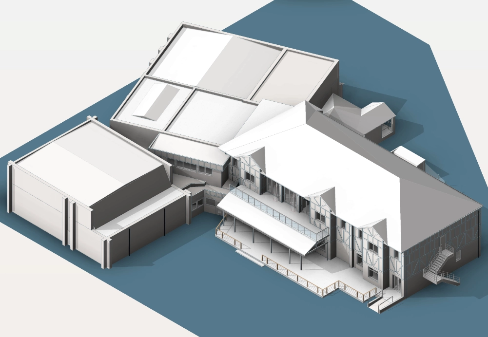
A detailed measured building survey of two structures, including floor plans, elevations, sections and geo-coordinated Revit modelling.
View case study →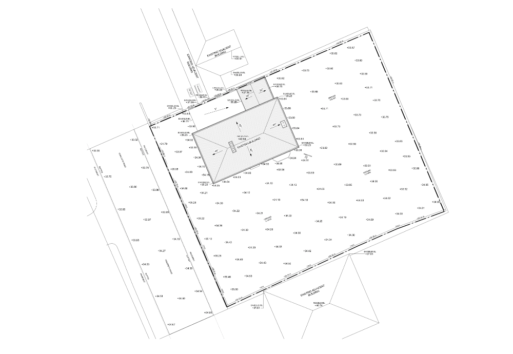
Measured building and topographical survey work capturing the building, hard landscape and adjacent eaves and ridge heights for development work.
View case study →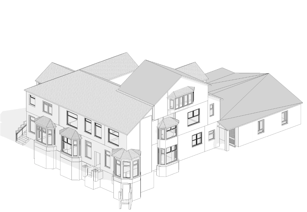
A comprehensive measured survey focused on complex internal layouts and roof geometry, producing a detailed Revit model plus PDF and DWG outputs.
View case study →Send the Lancashire property location, required outputs and any existing drawings.
We review the scope and normally respond within 24 hours.
Our team captures the agreed building information on site.
Your drawings, model or point cloud are quality checked before issue.
We support measured building survey projects across the county. Location, access and required outputs are considered as part of the quotation and programme.
Cost depends on the building size, complexity, access, survey coverage and required deliverables. Send us the project details and we will provide a scope-based quotation.
Availability depends on the project location and current survey programme. We confirm the proposed attendance and delivery dates with your quotation.
Yes. We can provide DWG/PDF drawing packages, Revit models and registered point cloud data depending on the agreed scope.
Yes, where the project requires surrounding site information, levels or adjacent context, measured building and topographical survey scopes can be combined.
Yes. We plan around access constraints where practical and agree any limitations before or during the survey.
Please send the property address or postcode, approximate building size, required outputs, preferred programme and any existing plans or project information.
Share the project location, required deliverables and any available drawings. Our team will review the scope and normally respond within 24 hours.
Speak to our survey team about the existing-building information your project needs.